Utilizing LiDAR and Photogrammetry Together to Achieve Your Land Surveying Goals
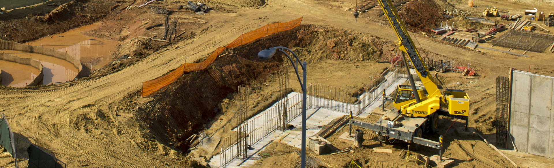
The use of unmanned aerial vehicles (UAVs) is quickly becoming an integral aspect of construction projects nationwide. Getting a perspective on your property from the air before you start building […]
Utilizing LiDAR and Photogrammetry Together to Achieve Your Land Surveying Goals Read Post »